Log in
All resources
Create a design
33,402 Free Images of 1680 Maps
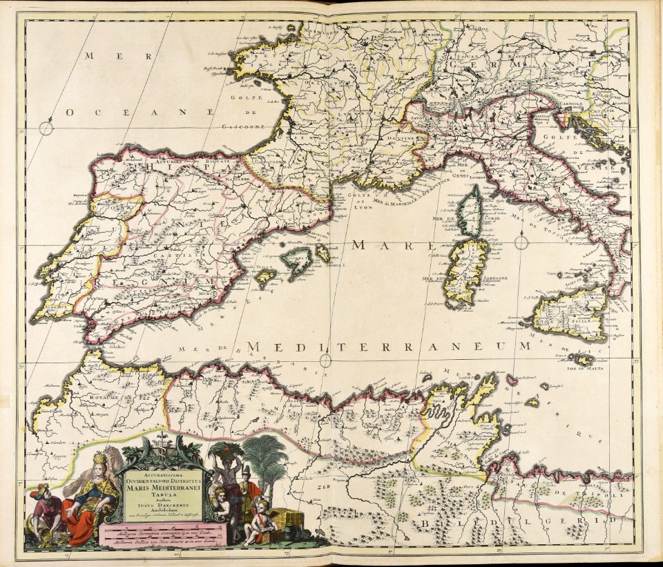
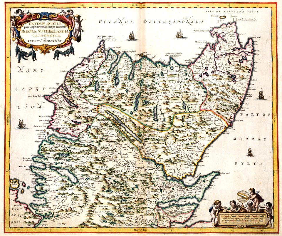
atlas van der hagen
maps with cartouches
atlas van der hagen (volume 2)
maps made in the 17th century
fonds ancely - bibliothèque municipale de toulouse - maps
victor levasseur - maps of france
maps by pieter schenk (i)
gerard valck
atlantis magni tomus secundus (biblioteca comunale di trento)
atlas van der hagen (volume 1)
quartier de l'arsenal
lithographs of paris
maps made in the 17th century
cornelis danckerts (i)
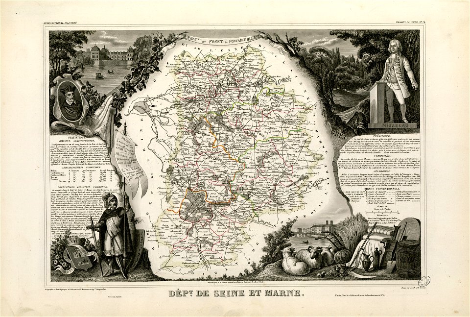
old maps of seine-et-marne
honoré mirabeau
fonds ancely - bibliothèque municipale de toulouse - maps
old maps of côtes-d'armor
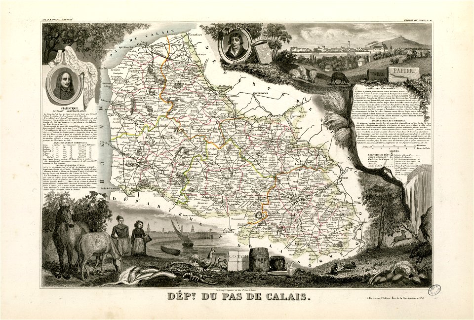
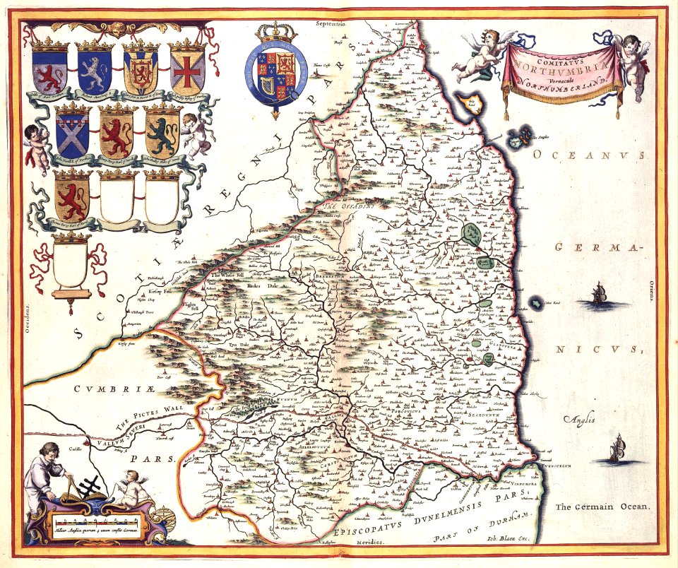
coats of arms of cities in pas-de-calais
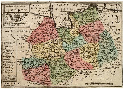
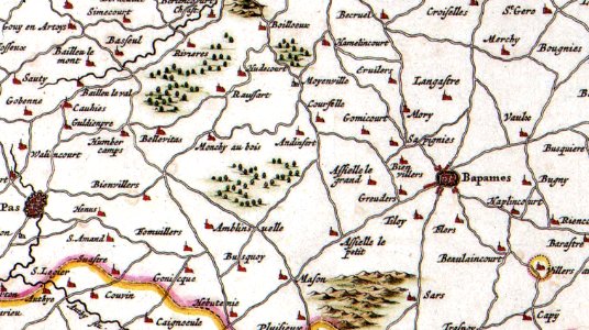
old maps of pas-de-calais
coats of arms of cities in indre
henri gatien bertrand
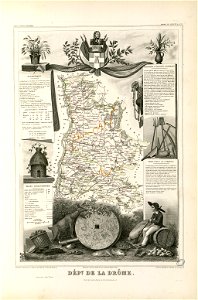
coats of arms of cities in drôme
jean étienne championnet
fonds ancely - bibliothèque municipale de toulouse - maps
frédéric-auguste laguillermie
abraham de fabert
michel ney
fires in new york (state)
new york city
maps made in the 17th century
gerard valck
maps made in the 16th century
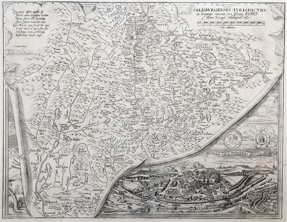
old maps of salzburg (state)
maps made in the 17th century
gerard valck
maps made in the 17th century
old maps of the world
illustrated battles of the nineteenth century
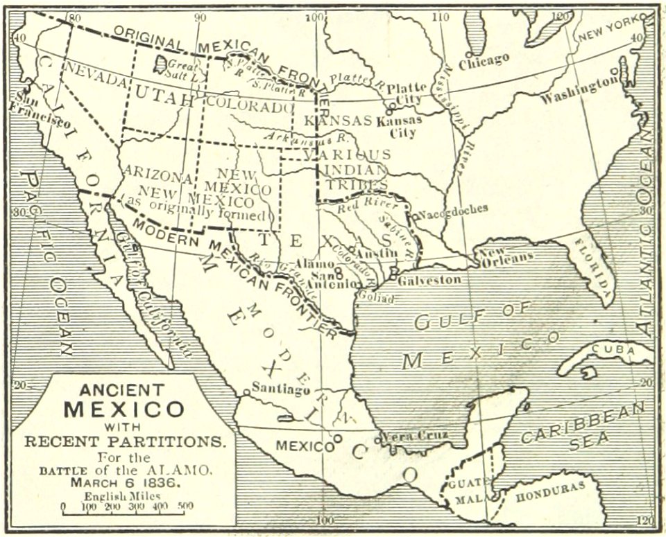
maps of the history of mexico
old maps of the arctic
maps in literature
old maps of the saint lawrence river
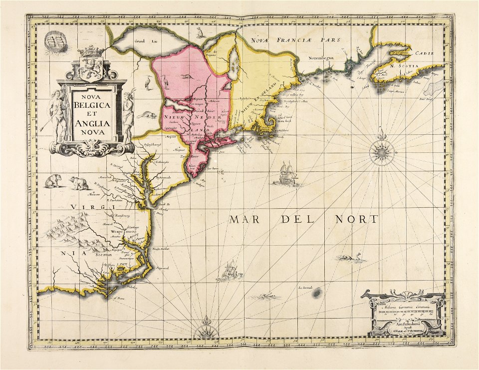
old maps of new england
ardennes (belgium)
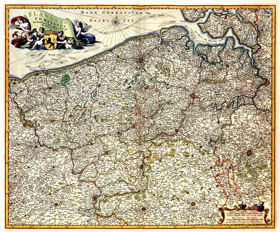
gallia belgica
maps from the mechanical curator collection
000
popular science monthly illustrations/volume 13
drainage basin maps of north america
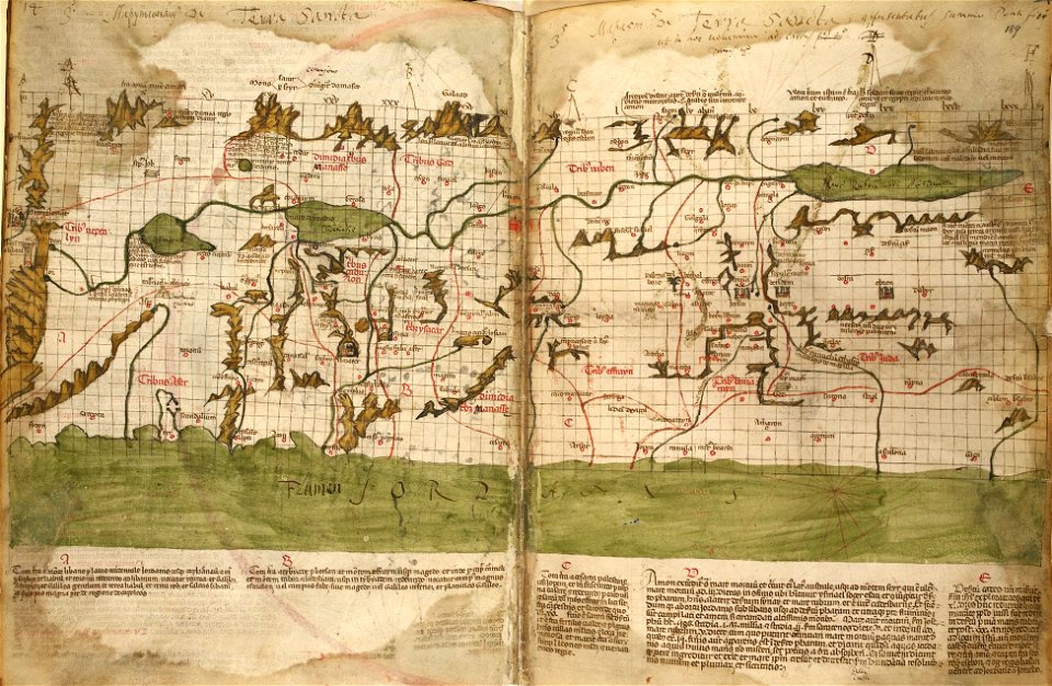
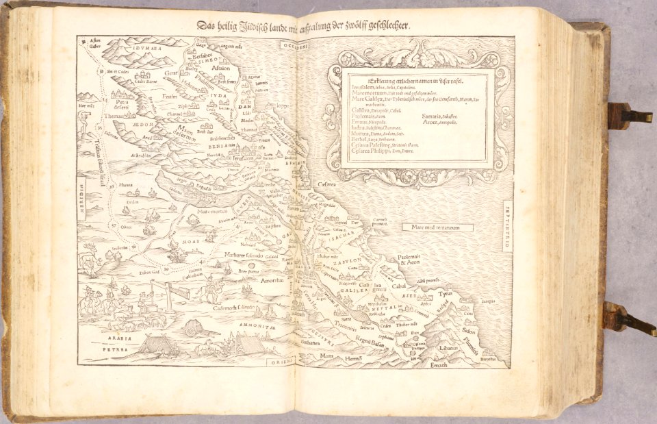
holy land
israelite
cornell university library
1888 maps
university of toronto wenceslas hollar digital collection
hollar maps and plans of london
historical images of the place dauphine (paris)
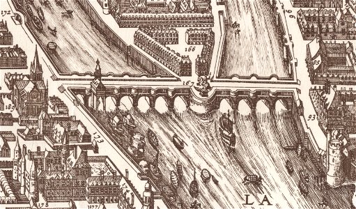
historical images of pont neuf
maps made in the 17th century
gerard valck
maps made in the 17th century
gerard valck
maps made in the 17th century
gerard valck
kunshan in
suzhou
fonds ancely - bibliothèque municipale de toulouse - maps
frédéric-auguste laguillermie
fonds ancely - bibliothèque municipale de toulouse - maps
old maps of aube
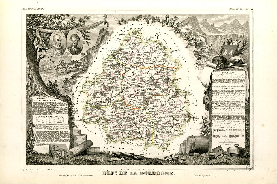
coats of arms of cities in dordogne
pierre daumesnil
fonds ancely - bibliothèque municipale de toulouse - maps
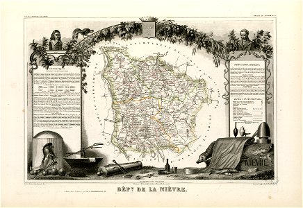
coats of arms of cities in nièvre
frédéric-auguste laguillermie
portraits of rené descartes
fonds ancely - bibliothèque municipale de toulouse - maps
jean-de-dieu soult
maps made in the 17th century
gerard valck
south carolina in the 19th century
columbia
south carolina in the 19th century
columbia
maps from the mechanical curator collection
british battles on land and sea
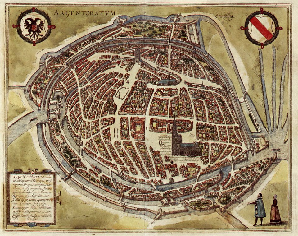
historical remote views of strasbourg
16th-century maps of strasbourg
atlas van der hagen
old maps of france
old maps of the electorate of trier
maps with cartouches
hatched coats of arms
johann baptist homann
maps made in the 17th century
gerard valck
maps made in the 17th century
gerard valck
cornell university library
old maps of louisiana
maps by willem and johannes blaeu
maps made in the 17th century
amsterdam
ij
maps made in the 17th century
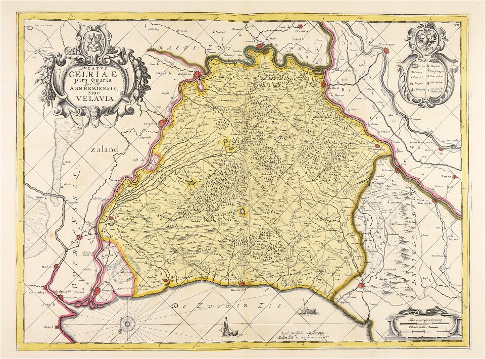
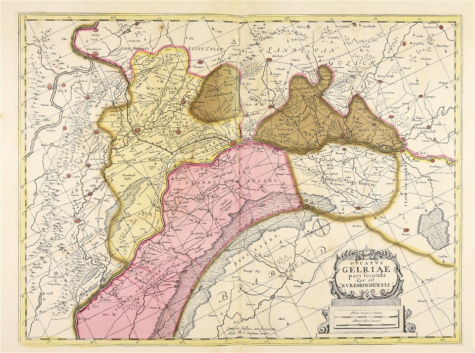
old maps of gelderland
atlantis magni tomus tertius (biblioteca comunale di trento)
maps made in the 17th century
maps made in the 17th century
old maps of gelderland
atlantis magni tomus secundus (biblioteca comunale di trento)
maps made in the 17th century
maps made in the 17th century
old maps of gelderland
middle ages in france
alexandre du mège
old maps of japan
old maps of korea
19th-century maps of bavaria
wertach river in augsburg
old maps of crimea
1856 maps
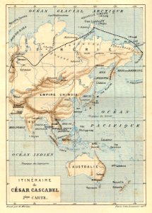
illustrations from césar cascabel by george roux
césar cascabel
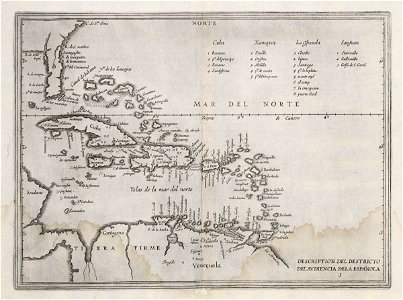
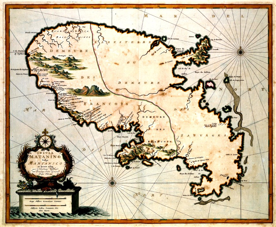
17th-century maps of the caribbean
1622
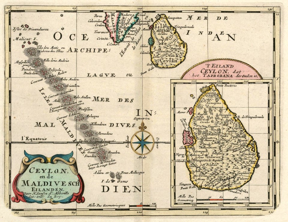
maps of the dutch east india company - sri lanka
1705
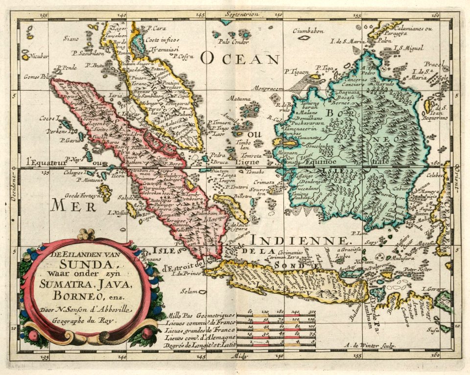
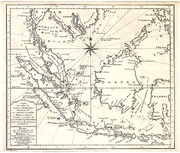
maps of the dutch east india company - indonesia
1705
maps of the west-indische compagnie
1644
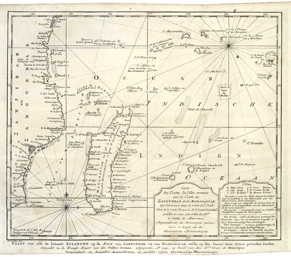
maps of the dutch east india company - madagascar
1747)
maps of the dutch east india company - indonesia
1747)
old maps of the dutch east india company
1747)
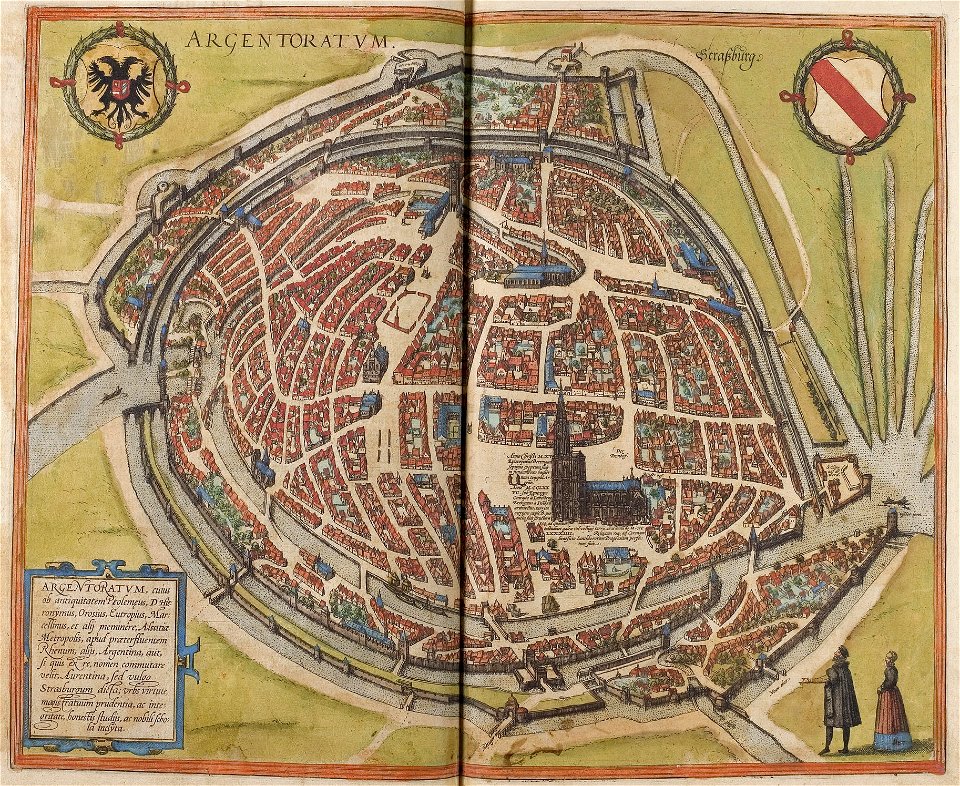
maps of strasbourg in the 16th century
braun & hogenberg
maps of strasbourg in the 16th century
braun & hogenberg
old maps of the holy land
old maps of palestine
atlantis magni tomus tertius (biblioteca comunale di trento)
maps made in the 17th century
atlantis magni tomus quintus (biblioteca comunale di trento)
18th-century maps of asia
media from national cancer institute visuals online
maps of the united states
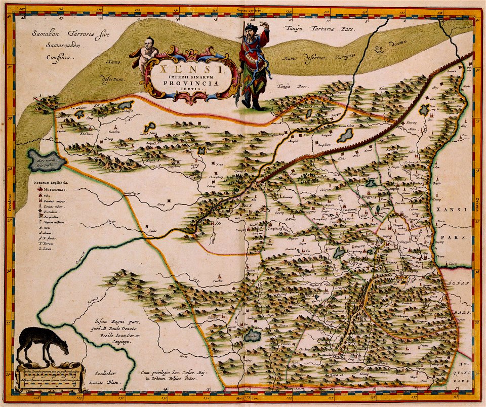
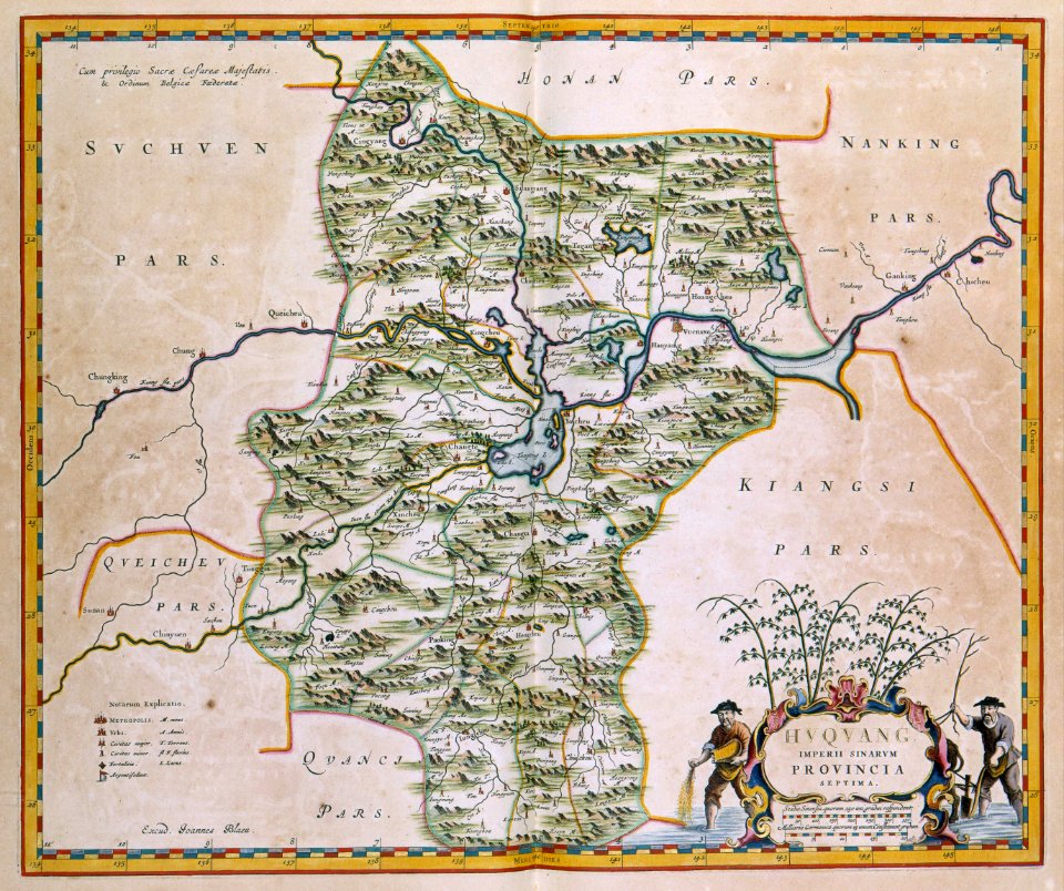
17th-century maps of china
maps with cartouches
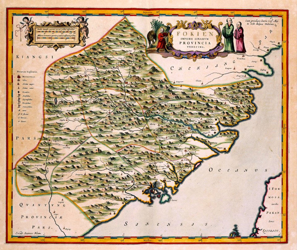
17th-century maps of china
maps with cartouches
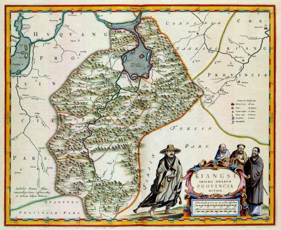
17th-century maps of china
maps with cartouches
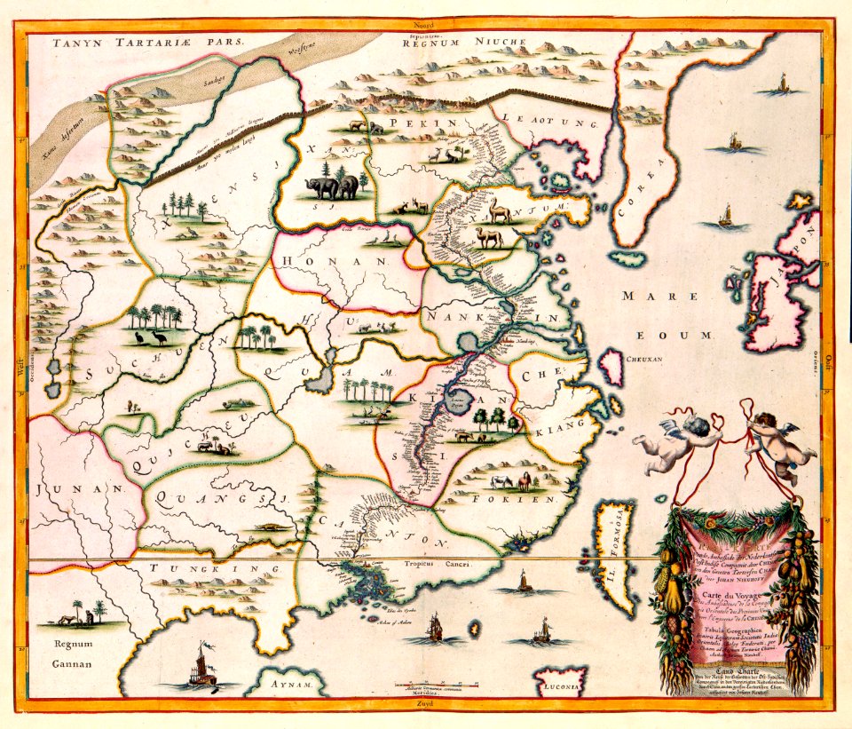
17th-century maps of china
maps with cartouches
atlas van der hagen (volume 4)
maps with cartouches
maps with cartouches
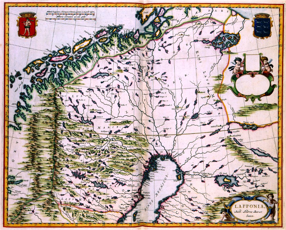
finland
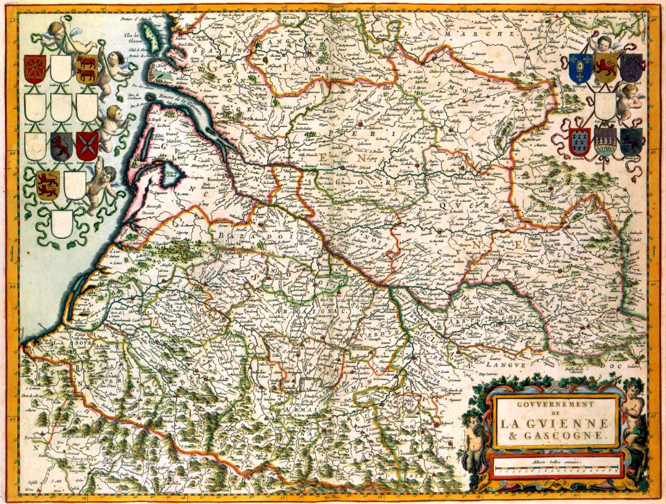
17th-century maps of france
maps with cartouches
maps with cartouches
atlas van der hagen
maps with cartouches
atlas van der hagen
maps with cartouches
atlas van der hagen
maps with cartouches
zeebrugge
maps with cartouches
atlas van der hagen
17th-century maps of france
maps with cartouches
maps with cartouches
atlas van der hagen
maps with cartouches
atlas van der hagen
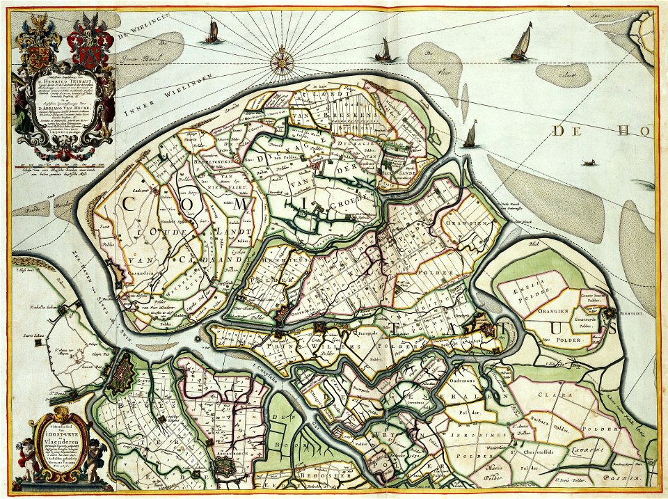
old maps of zeeland
atlas van der hagen
maps with cartouches
atlas van der hagen
maps with cartouches
atlas van der hagen
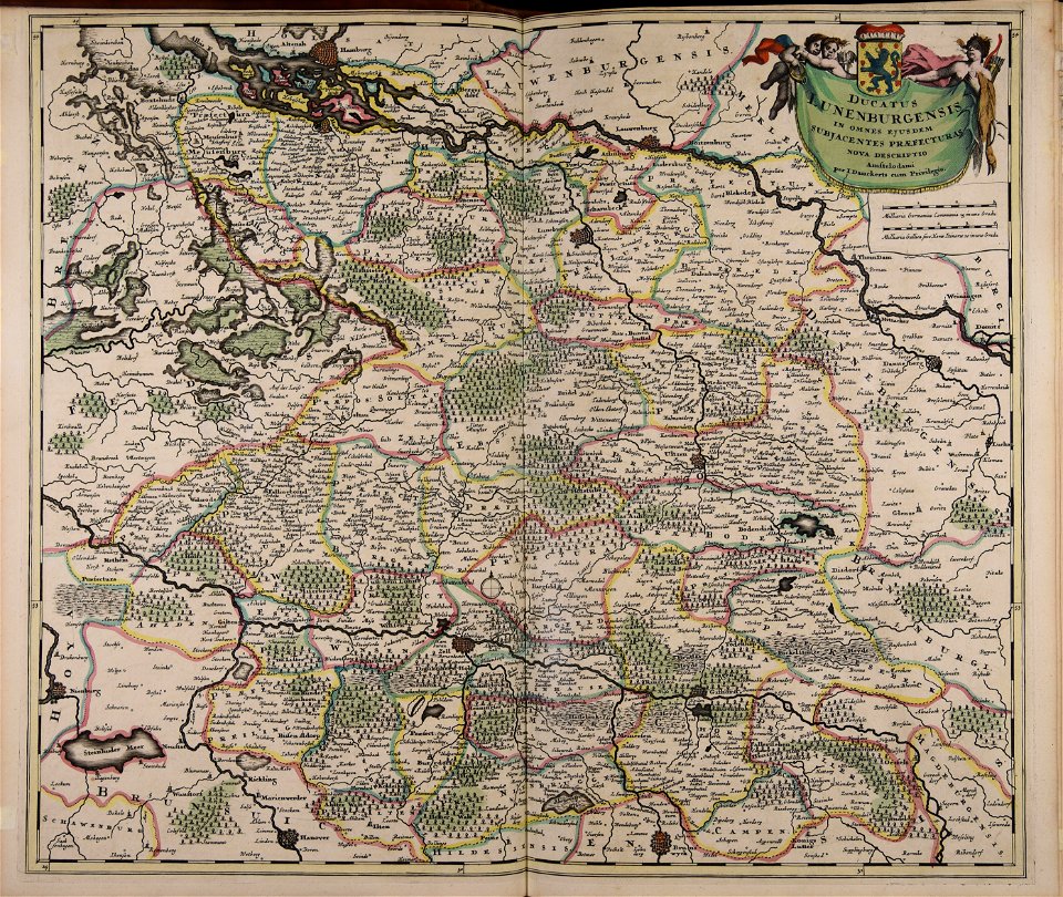
old maps of lower saxony
maps with cartouches
maps with cartouches
atlas van der hagen
maps with cartouches
atlas van der hagen
maps with cartouches
atlas van der hagen
17th-century maps of the netherlands
maps with cartouches
maps with cartouches
atlas van der hagen
maps with cartouches
atlas van der hagen
atlas van der hagen
old maps of france
maps with cartouches
atlas van der hagen
17th-century maps of france
maps with cartouches
maps with cartouches
atlas van der hagen
17th-century maps of china
maps with cartouches
5201 - 5300 of 33,402
Next page
/ 335